Positioning Page
###################################
Positioning Page
###################################
The Positioning page allows the user to select the two possible device mode:
- Mapping - To create a new map of the environment.
- Localisation - To localise the device on an existing map.
The Positioning page enables the user to monitor live the device status.
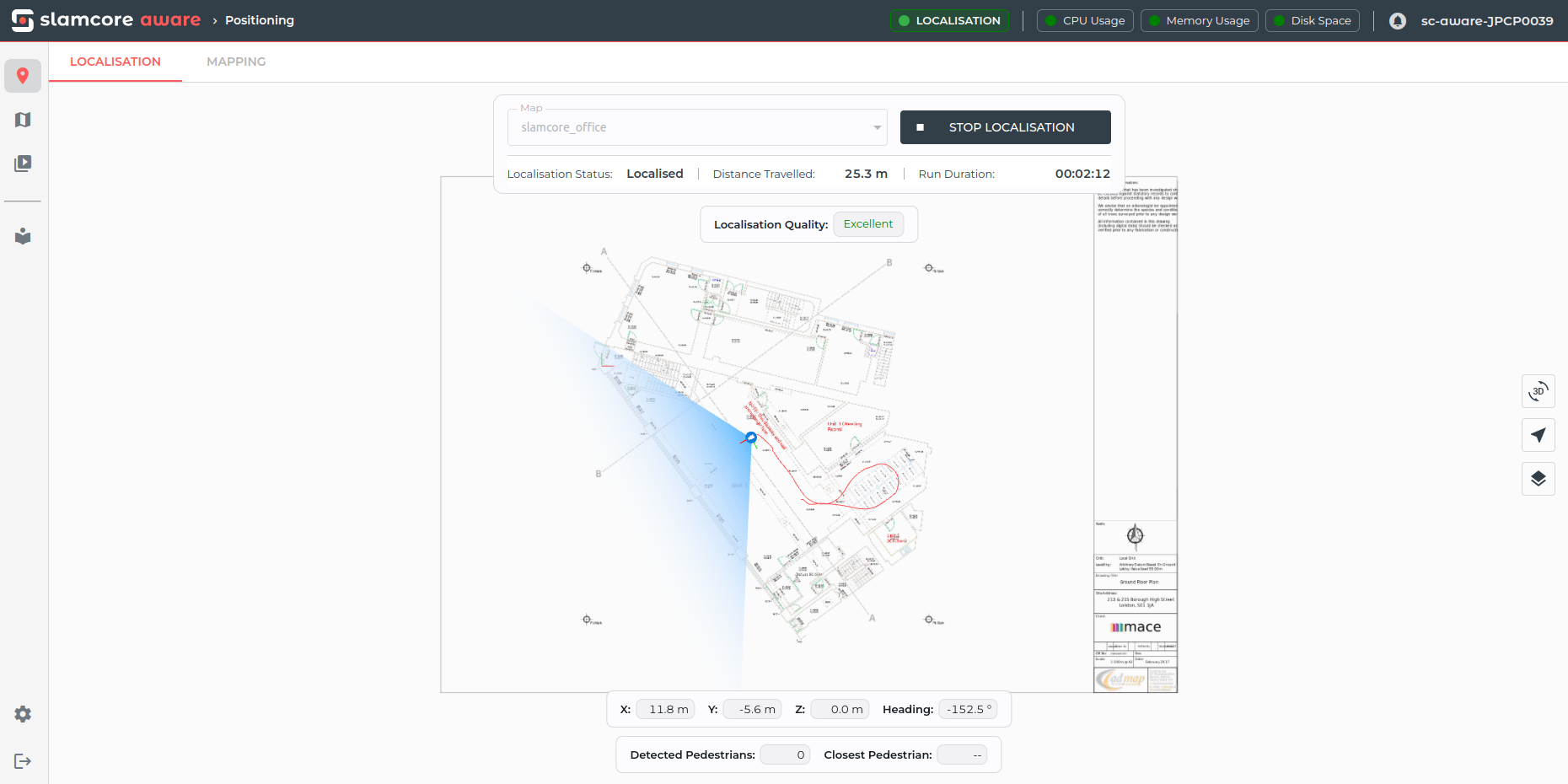
The page consists of a live pose viewer, with overlaid controls to start and stop positioning as well as various cards displaying live positioning information.
At the top left of the page, the LOCALISATION and MAPPING tabs allow the user to select which positioning mode to run in.
Below that, the mode control card enables map selection and manual start and stop of positioning. The following run information is also displayed when either localisation or mapping is active:
- Localisation Status - See Localisation Status for more details
- Distance Travelled - Total distance travelled since the localisation run was initiated
- Run Duration - Time since the localisation run was initiated
Live view
The positioning page main window has a viewer to show the live updates from the device when either in Mapping or Localisation mode.
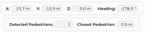
The real-time coordinates of the device are shown, and details on the number of detected pedestrians and the distance to the closest one is also shown (Pedestrian Detection can be disabled, please see details here on how to do that).
Viewer Controls
Controls are available on the right side of the screen to configure the live pose viewer options:
 enables toggling between the 2D and 3D viewer.
 enables toggling the viewer between the Vehicle
centered in view or Static Map (Vehicle not centered)
enables toggling the viewer between the Vehicle
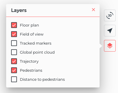
centered in view or Static Map (Vehicle not centered) will open the layer visibility menu, enabling
the user to toggle on or off the visibility of the various active
layers.
will open the layer visibility menu, enabling
the user to toggle on or off the visibility of the various active
layers.