Localisation
Localisation mode is the main positioning mode used during normal operation. In this mode, the system localises against an existing map that was created using Mapping mode or uploaded through the Map Management page. Ensure a map is present in the device before attempting to start localisation.
Localisation mode can be started manually through the positioning page or the system can be configured to automatically start localisation mode on boot (See Localisation on Boot).
Running Localisation on Boot
The devices can be configured to begin localisation automatically upon powering on the device. This is the recommended mode of operation for live deployment. Please see the Localisation on Boot section in the Settings: Positioning page for instructions on how to enable this feature.
When localisation on boot is enabled, the system will attempt to localise in the selected map immediately after boot.
If Localisation on Boot is enabled and you stop localisation manually, localisation will only be restarted on next boot, unless restarted manually.
Running Localisation manually
Selecting a map
- On the web interface, select the
 Positioning page > LOCALISATION tab.
 - Under the Map drop-down, select the map to use.

Starting a run
On the Positioning page > LOCALISATION
tab, click START LOCALISATION to begin localisation.
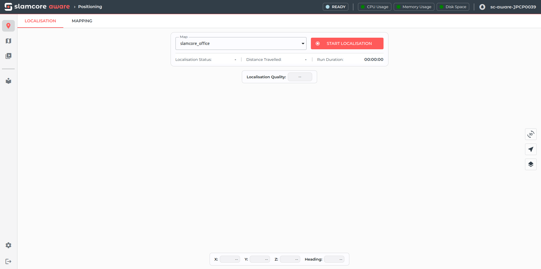
To start, the visualisation pane will typically show a grey pose icon
and the Localisation Status will be Relocalising as the system
attempts to localise in the map.
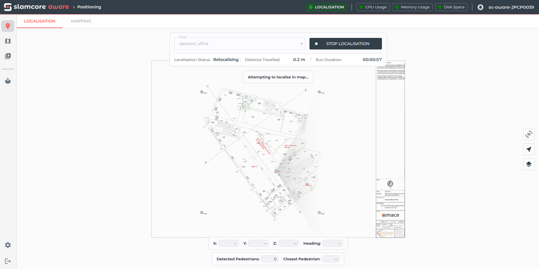
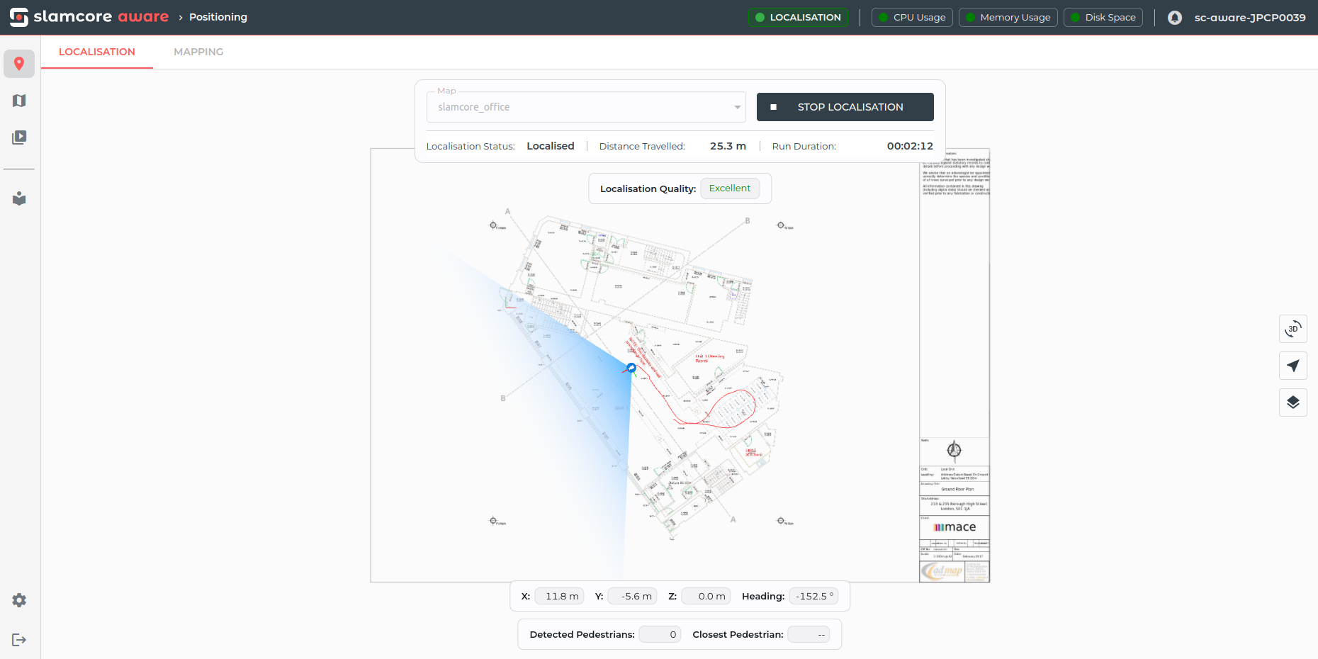
After driving for a few seconds, the system should relocalise and you
will start seeing the vehicle tracked on top of the floor plan in blue,
with the Localisation Status showing Localised. When the system is
Localised, the Localisation Quality will be shown at the top of the
visualisation pane.
Localisation Status
The localisation status indicates the instantaneous state of the current pose estimation:

Status
| Localisation Status | Description |
|---|---|
| Localised | The device is localised in the map. |
| Relocalising | The system can not estimate its current location |
Under normal conditions, the status should remain set to Localised. Sudden changes to the Relocalising status may be caused by insufficient lighting conditions, sensor condensation, featureless walls / a lack of sufficient texture within the required range, or due to the detection of suboptimal position estimates due to moving objects in the frame. Starting the system in an unmapped area will also cause the system to remain in the Relocalising state until it is able to localise on the map.
Pose estimates when the system is Relocalising will be shown in grey and continue to be published, in the following way:
- Position data (X, Y, Z) will be fixed to the last known position before the system lost tracking until the system is able to relocalise. After first boot, the device will publish the pose as (0, 0, 0) until the system localises in the map.
- Orientation data will continue to change based on the sensor's IMU data
Localisation Quality
Localisation Quality gives an indication of the quality of the estimated live pose based on real-time AI monitoring technology, providing pose confidence feedback to users and any systems consuming its output.

The localisation quality is estimated based on the tracking confidence calculated by the system, with the following mapping of values:
Localisation Quality
| Tracking Confidence Value | Localisation Quality |
|---|---|
| 1 | Excellent |
| 0.25 - 0.5 | Good |
| 0.0 - 0.25 | Poor |
| NA | Lost |
In VDA5050 the tracking confidence value is reported as
localizationScore.
Stopping a run
Click STOP at any time to end the current localisation run. If the system is shutdown or power is removed, the ongoing run will be stopped automatically.
When stopping, the system will save the updated map as well as the trajectory file and telemetry logs for the run, which can be downloaded from the Trajectories & Logs page. Further information on the contents of the run data package is provided at Trajectories and Logs.